
The Gamsfeld in Rußbach
The fastest route to this destination
The Gamsfeld in Rußbach
EITHER WITH TOURING SKIS THROUGH THE STEEP ANGERKAR TO THE GAMSFELD, OR WITH THE TOBOGGAN QUITE COMFORTABLY TO THE ALMS AT THE FOOT OF THE MOUNTAIN.
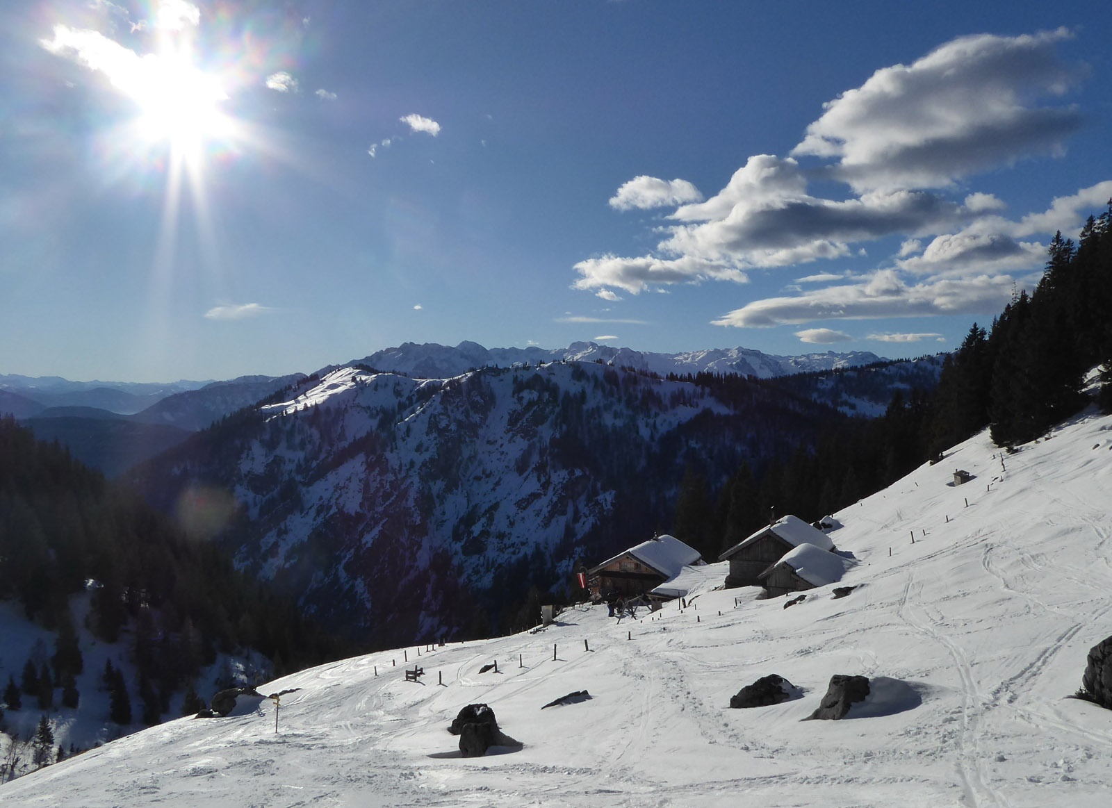
Already on the way to Rußbach, the dominant, wildly rugged Gamsfeld north of the picturesque town is impossible to miss. The mountain name is not yet fully explained: no trace of chamois and the flat field! The namesake Gams field only opens up at the very end; before that, there is a steep ascent through the Angerkar. This section climbs almost 300 vertical meters on the shady north side, upgrading the otherwise quite pleasurable ski route to a difficulty level of “challenging”. Crampons are almost always necessary on the frequently icy tracks. Those who want to take it more easy stay at the Angerkaralm (1423 m), open during winter holidays and winter weekends, otherwise always equipped with an accessible drink cooler. Snowshoers also like to go there. Those who want to end the rustic toboggan ride earlier are also well accommodated at the Rinnbergalm (1249 m). The one and a half hour path to there simply follows the Rinnberggraben.
moderate
3h 20min

12.76 km

Out and back

Russbach am Pass Gschuett

Seasons


Directions
From the Rußbach town centre bus stop, first continue with skis on your shoulder, passing the municipal office on the left, following the signposted direction "Gamsfeld" for 15 minutes to the start of the Alm access road (path 32 A), which serves as a toboggan run in winter. Along the prepared route now 1.5 km to the junction of path 34 (Angerkaralm). Either here, or before the ravine to the right upwards to the Angerkaralm, the initial steepness soon lessens and the forest becomes sparser. A more comfortable, albeit half an hour longer variant remains on the service road and turns right at the Rinnbergalms (1249 m). From the Angerkaralm the track runs northward through the moderately steep stepped kar and then turns right at the end. Now follows the steepest and most unpleasant section, which after many hairpin bends turns into the Gamsfeld summit ridge running northeastwards, which only rises slightly and is often snow-blown. Descent as on the ascent to the Angerkaralm and now either on the service road via the Rinnbergalms, or continuing along the ravine to a forestry road branching off to the right and then crossing over this to the relatively snow-safe toboggan run.
Information & contact
www.russbach.info/skigebiet-dachstein-west.html
Mag. Christian Heugl
5400 Hallein
christian.heugl@gmail.com
Photo credit: Christian Heugl
By public transport
From Hallein train station (west side) or Golling-Abtenau train station (forecourt) take bus 470 to Rußbach town centre.
Schedule/frequency: Hourly from Golling on weekdays, every 2 hours on Sundays and public holidays!
Timetable information and download: Online at www.salzburg-verkehr.at or on your smartphone via the free Salzburg Verkehr app for Android and iOS.
Safety information
Don't forget crampons. Information on weather and avalanche conditions at www.lawine.salzburg.atRoute profile
All content has been researched by the editorial team to the best of their knowledge. However, the editorial team of Salzburger Verkehrsverbund GmbH cannot guarantee the completeness, accuracy, or timeliness of the information provided. We kindly ask you to verify the details when planning your trip, as opening hours, admission prices, or other information may change. Any liability claims against the editorial team or Salzburger Verkehrsverbund GmbH relating to material or non-material damages arising from the use of the information provided, or from the use of incorrect or incomplete information, are generally excluded.