
Over the Österreichberg to St. Martin
The fastest route to this destination
Over the Österreichberg to St. Martin
A rewarding hike with a red-white-red background for almost any season and weather.
The small mountain with the big name extends quite inconspicuously between Niedernfritz in the Fritzbachtal and St. Martin at the Tennengebirge. No marked trail leads to the forested, dense summit of the Österreichberg (1267 m), but there are flanking routes along the east and west sides. Viewed on the map, they form, with a bit of imagination, the outline of Austria – perhaps a hint to the unusual mountain name? Those who like to stop for a break should choose the path via the Halmgut (1086 m); the west-side route via the “Österreichbergrundweg” is somewhat less “road-heavy.” The destination for both variants is the sunny holiday paradise St. Martin.
moderate
2h 0min

6.51 km

Stroller-friendly

A to B

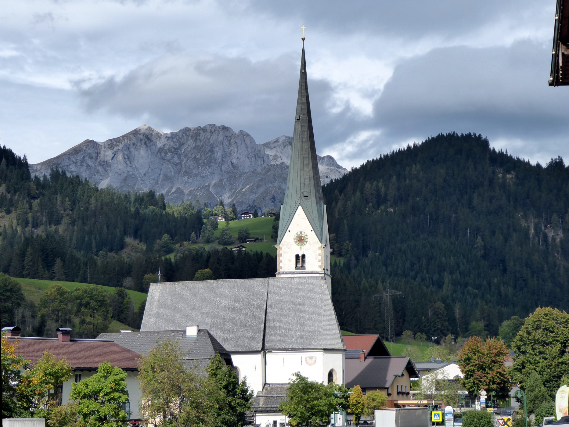
Sankt Martin am Tennengebirge

Seasons


Directions
From the Eben Gasthofberg bus stop, the path continues another 200 m along federal road 99 towards Eben and then turns left onto the access road to the Gasthofberg settlement. After 800 m, the routes branch: left is the marked Österreichberg loop; right is the winter-safe access road continuing 2 km further to the Halmgut snack station. The property with the romantic pond in front is at the highest point on this variant; the further way to St. Martin first follows the forest road and then turns into an access road. The other, left-leading variant "Österreichberg", follows the farm access road for another 1.5 km from the fork, then at the last houses turns left and 100 meters higher turns left again onto a forest road. After 2 km, at another fork, the direct path to the right leads to "St. Martin," a 20-minute longer variant goes straight ahead via the Kaiserjubilee monument to the Palfen (1091 m). The St. Martin town center bus stop is located opposite the church.
Information & contact
www.stmartin.info, www.eben.atMag. Christian Heugl
5400 Hallein
christian.heugl@gmail.com
Photo credit: Christian Heugl
By public transport
From Bischofshofen station forecourt by bus 510 or from Golling Abtenau station forecourt by bus 471 to Eben Gasthofberg. Return from St. Martin town center with bus 471 via Bischofshofen or via Golling Abtenau.
Timetable information and download: Online at www.salzburg-verkehr.at or on your smartphone via the free Salzburg Verkehr app for Android and iOS.
Route profile
All content has been researched by the editorial team to the best of their knowledge. However, the editorial team of Salzburger Verkehrsverbund GmbH cannot guarantee the completeness, accuracy, or timeliness of the information provided. We kindly ask you to verify the details when planning your trip, as opening hours, admission prices, or other information may change. Any liability claims against the editorial team or Salzburger Verkehrsverbund GmbH relating to material or non-material damages arising from the use of the information provided, or from the use of incorrect or incomplete information, are generally excluded.