
From Angertal over the Stanzscharte into the Raurisertal
The fastest route to this destination
From Angertal over the Stanzscharte into the Raurisertal
The hike from the Gasteinertal to the Raurisertal leads from the Angertal ski area over gentle alpine meadows to the idyllic village of Bucheben.
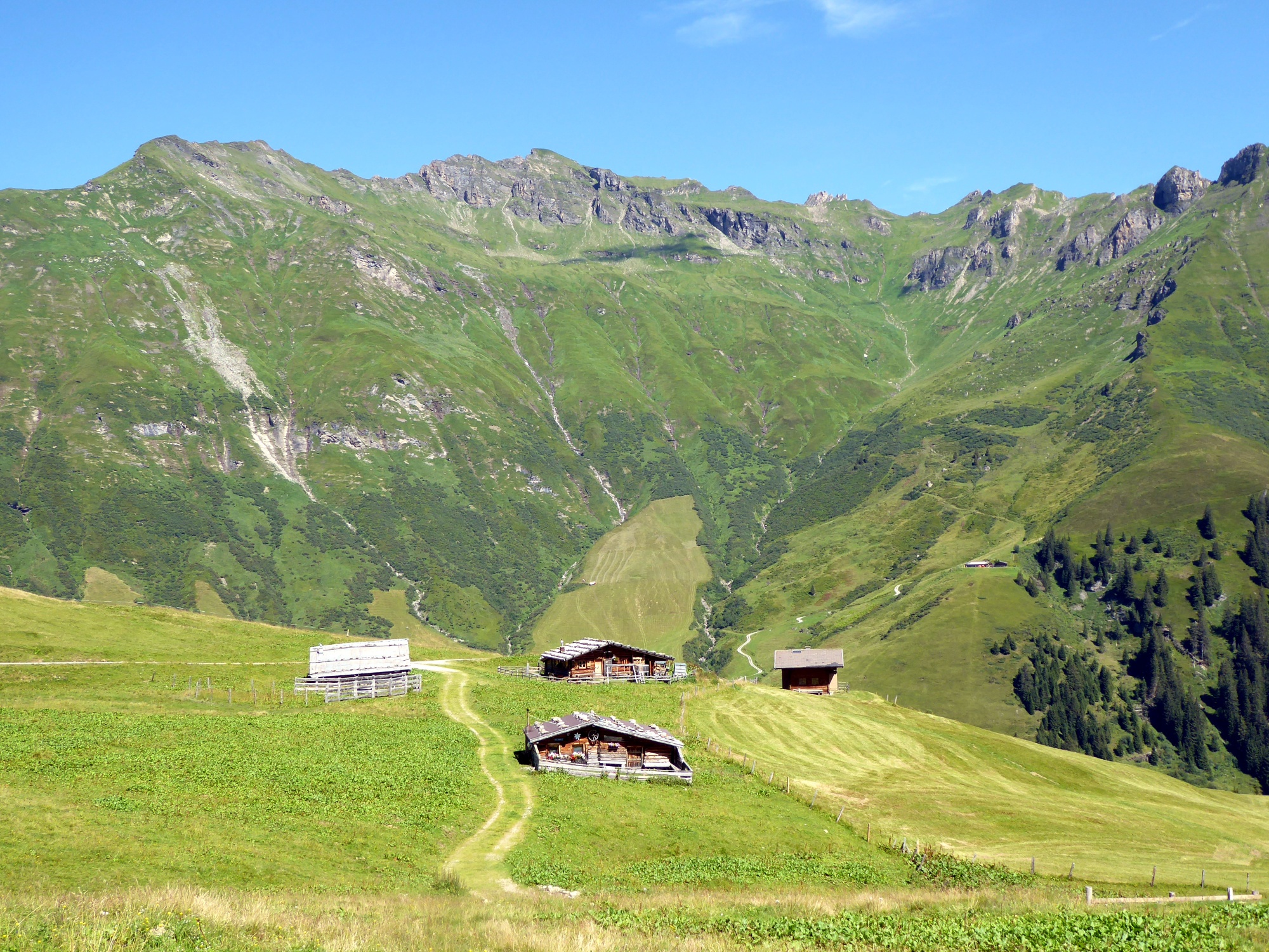
Between the two exclusive Gastein ski areas Stubnerkogel and Schlossalm runs the steep Lafentalgraben, through which the path leads up into the wonderful world of the Gadaunerer high alpine pasture. These fertile alpine meadows lie above the tree line, southwest they are bordered by the Kalkbretterkopf (2412 m), opposite by the Türchlwand (2577 m). Between them lies the gentle Stanzscharte (2098 m) over which the valley-crossing connecting path runs. At this highest point of the journey, a breathtaking view opens up onto the legendary Goldberg trio: Schareck, Sonnblick, and Hocharn. But the view closer to the ground is also worthwhile, further down the valley the quiet path leads at the right time through a true paradise of berries and mushrooms.
Direct travel and details at: salzburg-erfahren.at
moderate
5h 15min

13.42 km

A to B

Bad Hofgastein

Seasons


Directions
The starting point is the bus stop Bad Hofgastein Angertal/Judau (1190 m). Past the valley station the path leads down a few metres to the Angertal stream, but then turns right before the bridge, crosses the meadow, and now follows the cool forest path 115 b (Gadaunerer high alpine pasture). Delightful wooden figures and lively streams provide variety on the 2-hour path to the Felding hut (no day off during the alpine pasture season). Moderately ascending, route 115 leads in another hour to the Stanzscharte (2098 m) and then runs as a rustic but easy-to-walk and beautiful natural path down to the Lachkendl Alm (1882 m). Afterwards it continues again on a wide alpine pasture path. Path 115 crosses the municipal forest, passes the Frohn Alm, and turns right just below the barn towards the church Bucheben. A few metres lower, the access road merges into the state road to Rauris; the bus stop Bucheben is located on the left in front of Katrin's shop.
Information & contact
www.gastein.com, www.raurisertal.at
Mag. Christian Heugl
5400 Hallein
christian.heugl@gmail.com
Photo credit: Christian Heugl
By public transport
From Schwarzach station or Dorfgastein station (forecourt) take bus 550 to Bad Hofgastein bus station and then bus 552 to Bad Hofgastein Angertal/Judau. Bus 552 runs from early June to mid October.
Return by bus 640 from Bucheben near Rauris village to Taxenbach-Rauris station (forecourt) and continue by train.
Timetable information and downloads: Online at www.salzburg-verkehr.at or on your smartphone with the free Salzburg Verkehr app for Android and iOS.
Direct travel and details at: salzburg-erfahren.at
Route profile
All content has been researched by the editorial team to the best of their knowledge. However, the editorial team of Salzburger Verkehrsverbund GmbH cannot guarantee the completeness, accuracy, or timeliness of the information provided. We kindly ask you to verify the details when planning your trip, as opening hours, admission prices, or other information may change. Any liability claims against the editorial team or Salzburger Verkehrsverbund GmbH relating to material or non-material damages arising from the use of the information provided, or from the use of incorrect or incomplete information, are generally excluded.