
The Gsengsteig in Unken
The fastest route to this destination
The Gsengsteig in Unken
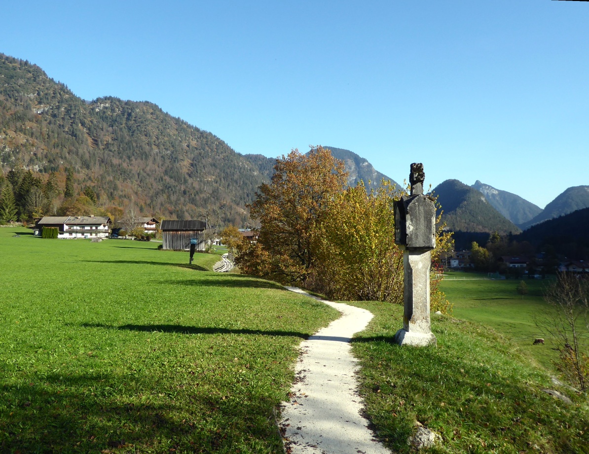
THE SUNNY GSENGSTEIG CONNECTS THE TOWN OF UNKEN WITH THE STEINPASS AND CASUALLY TELLS ABOUT THE PLAGUE, FORESTRY, AND CULINARY DELIGHTS.
On the path, which winds so elegantly around the south foot of the Hochgseng (1,544 m), there is really a lot to see. The sunny high route leads to truly wonderful viewpoints, but it also presents many interesting details from the rich cultural and village life. Insights into the baroque St. James Church or the adjacent modern kindergarten provide equally vivid knowledge, as does the understanding of the quality of local agricultural products. It fits well that the Gsengsteig is also part of the Unken culinary route. Everyone who sets out in Unken will come to appreciate the flavors.
easy
2h 0min

6.89 km

Family-friendly

Stroller-friendly

Round trip

Unken

Seasons


Directions
From the Unken town center bus stop, walk a few meters along the main street back to the exemplary renovated Kramerwirt, which was already documented in 1598 and was given the now so characteristic classical facade in the 19th century. Turning left, the route leads up to the parish church and there follows the signposted Gsengsteig to the right. A plague column from 1636 reminds of this scourge of humanity. The Gsengsteig runs wonderfully sunny along the foot of the Hochgseng. The steep southern slopes were dreaded avalanche tracks until an elaborate forest protection project started in 1993 provided safety. Around 80,000 young trees were planted. The Gsengsteig ends after a total of one hour at the former customs building at the Steinpass, which today houses an office of the TEH (Traditional European Medicine). The return route crosses the federal road and now follows the sign "Josefsallee – Unken". Actually, there is no alley but a typical floodplain landscape, through which the round closes along the Saalach in Unken.
Information & contact
www.unken.co.at/gsengsteig;
www.lofer.com/de/das-salzburger-saalachtal/unken;
Mag. Christian Heugl
5400 Hallein
Image credit: Christian Heugl
By public transport
From Sbg. Main Station (Engelbert-Weiß-Weg) take bus 260 to Unken town center.
Timetable information and download: Online at www.salzburg-verkehr.at or on your smartphone via the free Salzburg Verkehr app for Android and iOS.
Route profile
All content has been researched by the editorial team to the best of their knowledge. However, the editorial team of Salzburger Verkehrsverbund GmbH cannot guarantee the completeness, accuracy, or timeliness of the information provided. We kindly ask you to verify the details when planning your trip, as opening hours, admission prices, or other information may change. Any liability claims against the editorial team or Salzburger Verkehrsverbund GmbH relating to material or non-material damages arising from the use of the information provided, or from the use of incorrect or incomplete information, are generally excluded.