
From Bad Gastein to Hüttschlag in the Großarltal
The fastest route to this destination
From Bad Gastein to Hüttschlag in the Großarltal
THE TWO TAUERN VALLEYS ARE CONNECTED BY MUCH: A WONDERFUL ALPINE MEADOW HIKING TRAIL OVER THE TOFERER SCHART, BUT ALSO AN EXCELLENT CONNECTION TO THE PUBLIC TRANSPORT NETWORK.
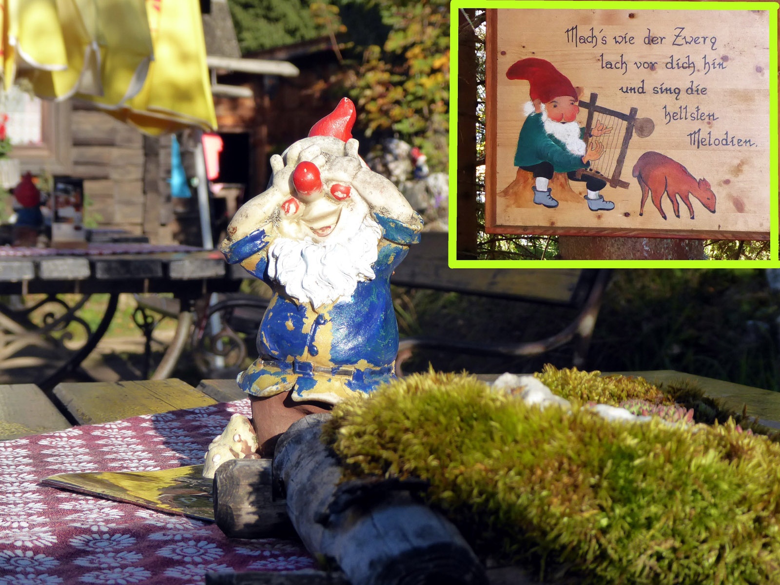
The bus 555 ride from Bad Gastein station to Kötschachtal takes only 10 minutes, but the views are similarly breathtaking, as on the train ride through the Gastein Valley. The final stop is the square in front of the former luxury hotel “Grüner Baum,” which unfortunately is somewhat fading and waiting for a wake-up kiss from a Sleeping Beauty sleep. The first 450 meters of elevation up to the Alpine inn Poserhöhe (1,506 m) are steep and require surefootedness. For a break, the funny dwarf sayings, the superb views of the Goldberg group, and, of course, the wonderfully located refreshment stop Poserhöhe are ideal. The further ascent to the Toferer Schart (2,090 m) is significantly less steep before a traverse on the sunny side of the Gamskarkogel through the area of the Harbachalm (1,612 m) leads comfortably downhill into the Großarltal towards Hüttschlag
moderate
6h 0min

13.68 km

A to B

Bad Gastein

Seasons


Directions
Directly opposite the Kötschachtal – Grüner Baum bus stop already begins the steep ascent to the Poserhöhe. In some places, steel cables provide additional security before after an hour the funny dwarf utters a final wisdom and the inviting Poserhöhe appears. There are dwarfs here too, one stands on every table. Also magical is the two-hour path through the bright larch forest to the Toferer Schart. Many climbers now turn left towards the sunny Gamskarkogel (2,467 m) and return via Bad Hofgastein to the Gastein Valley. However, our valley-crossing destination is Hüttschlag in the Großarltal. The comfortable descent meets half an hour later the Tofernalm (1,820 m), to which a new goods road has been laid, and shortly afterwards the summer-run Harbachalm. The 17th-century building was originally a hut for the miners who mined copper in the Tofernalm - Reitalm area. Soon follows a wide service road, which passes a beautiful wooden chapel and after 2 km, the forest path 43 a towards “Hüttschlag town center” branches off to the left. The previously stated walking time of 10 minutes is ambitious; at a brisk pace, it is more like 25 minutes to the Hüttschlag town center bus stop, which is located in the valley bottom on the main road.
Information & contact
www.gastein.com, www.grossarltal.info/de/urlaub/grossarltal/huettschlag.html
Mag. Christian Heugl
5400 Hallein
Photo credit: Christian Heugl
By public transport
By train or bus 550 to Bad Gastein station and by bus 555 to Kötschachtal Grüner Baum. Return from Hüttschlag town center with bus 540 to St. Johann station (forecourt) and onwards by train.
Schedule / frequency: excellent on weekdays (hourly), check timetable on weekends.
Schedule information and downloads: Online at www.salzburg-verkehr.at or on your smartphone via the free Salzburg Verkehr app for Android and iOS.
Route profile
All content has been researched by the editorial team to the best of their knowledge. However, the editorial team of Salzburger Verkehrsverbund GmbH cannot guarantee the completeness, accuracy, or timeliness of the information provided. We kindly ask you to verify the details when planning your trip, as opening hours, admission prices, or other information may change. Any liability claims against the editorial team or Salzburger Verkehrsverbund GmbH relating to material or non-material damages arising from the use of the information provided, or from the use of incorrect or incomplete information, are generally excluded.