
Castle hike from Bad Reichenhall to Großgmain
The fastest route to this destination
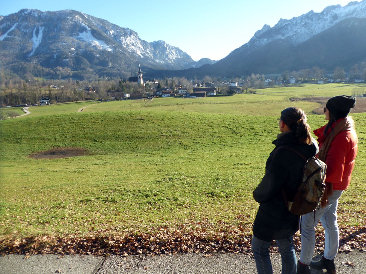
Castle hike from Bad Reichenhall to Großgmain
From the upper old town of Bad Reichenhall to Gruttenstein Castle, past the former Hallburg and on to the vanished fortress on the Randersberg near Großgmain.
The white gold, salt, was the basis for prosperity in Reichenhall. Many buildings and monuments still remind us of this today, foremost the Alte Saline, which can be visited as part of a 45-minute guided tour. On the edge of the terrain above towers the medieval town castle Gruttenstein, which was built around 1218 under Duke Ludwig I of Wittelsbach to protect Reichenhall and the brine springs. Completely vanished is the Hallburg built not far from there on the Streitbichl, which was erected in 1197 by Salzburg Archbishop Adalbert II after constant disputes between the two salt producers Bavaria and Salzburg. The same fate befell the medieval structure on the Randersberg in Großgmain, which was built opposite the Plainburg to protect the salt route and of which almost nothing can be seen today. All the more visible is the fantastic landscape between the castles. The route can also end in Großgmain, thus shortening the route by 45 minutes.
easy
1h 45min

5.16 km

Family-friendly

A to B

Großgmain

Seasons


Directions
The bus stop Bad Reichenhall - Tiroler Tor is located right in front of the impressive Nikolauskirche, which developed from the Romanesque basilica into its present neo-Romanesque appearance. The path leads past the Upper Lindenplatz and the Alte Saline, where "Reichenhall salt" was produced from brine from 1844 to 1929 and whose architecture also reflects Romanesque style. At the south end of the Alte Saline, a short staircase leads onto the plateau around Gruttenstein Castle. Turning right offers a small detour past the powder tower; before the castle, the route then follows right-hand along the fenced Streitbichl towards Großgmain. After a right-left combination, the particularly beautiful Großgmain Gangsteig landscape trail begins, which enters the state road to Großgmain on the left. Passing the Gothic church, the route continues for another 350 m along the main road and then turns left onto Falkenweg up the wooded Randersberg (608 m). The forest and meadow trail 53 reaches the district Hinterreit with its eponymous bus stop 45 minutes later.
Information & contact
www.bad-reichenhall.de/home, www.grossgmain.info/de/startseite
Mag. Christian Heugl
5400 Hallein
christian.heugl@gmail.com
Photo credit: Christian Heugl
By public transport
By bus 180 to Bad Reichenhall – Tiroler Tor or by bus 260 to Bad Reichenhall-Kirchberg Luitpoldbrücke (4 minutes on foot). Return by bus 180 from Großgmain state border or from Großgmain Hinterreith.
Timetable information and download: Online at www.salzburg-verkehr.at or on your smartphone via the free Salzburg Verkehr app for Android and iOS.
Route profile
All content has been researched by the editorial team to the best of their knowledge. However, the editorial team of Salzburger Verkehrsverbund GmbH cannot guarantee the completeness, accuracy, or timeliness of the information provided. We kindly ask you to verify the details when planning your trip, as opening hours, admission prices, or other information may change. Any liability claims against the editorial team or Salzburger Verkehrsverbund GmbH relating to material or non-material damages arising from the use of the information provided, or from the use of incorrect or incomplete information, are generally excluded.