


Alpine hiking around Hüttschlag in the Rear Großarltal
The fastest route to this destination
Alpine hiking around Hüttschlag in the Rear Großarltal
FROM THE VALLEY END IN STOCKHAM TO MODEREGGALM, OVER THE HÜHNERKARSCHARTE (2,048 m) TO THE HÜHNERKARALM AND THROUGH THE HUB VALLEY PAST THE HUB-GRUNDALM TO HÜTTSCHLAG.
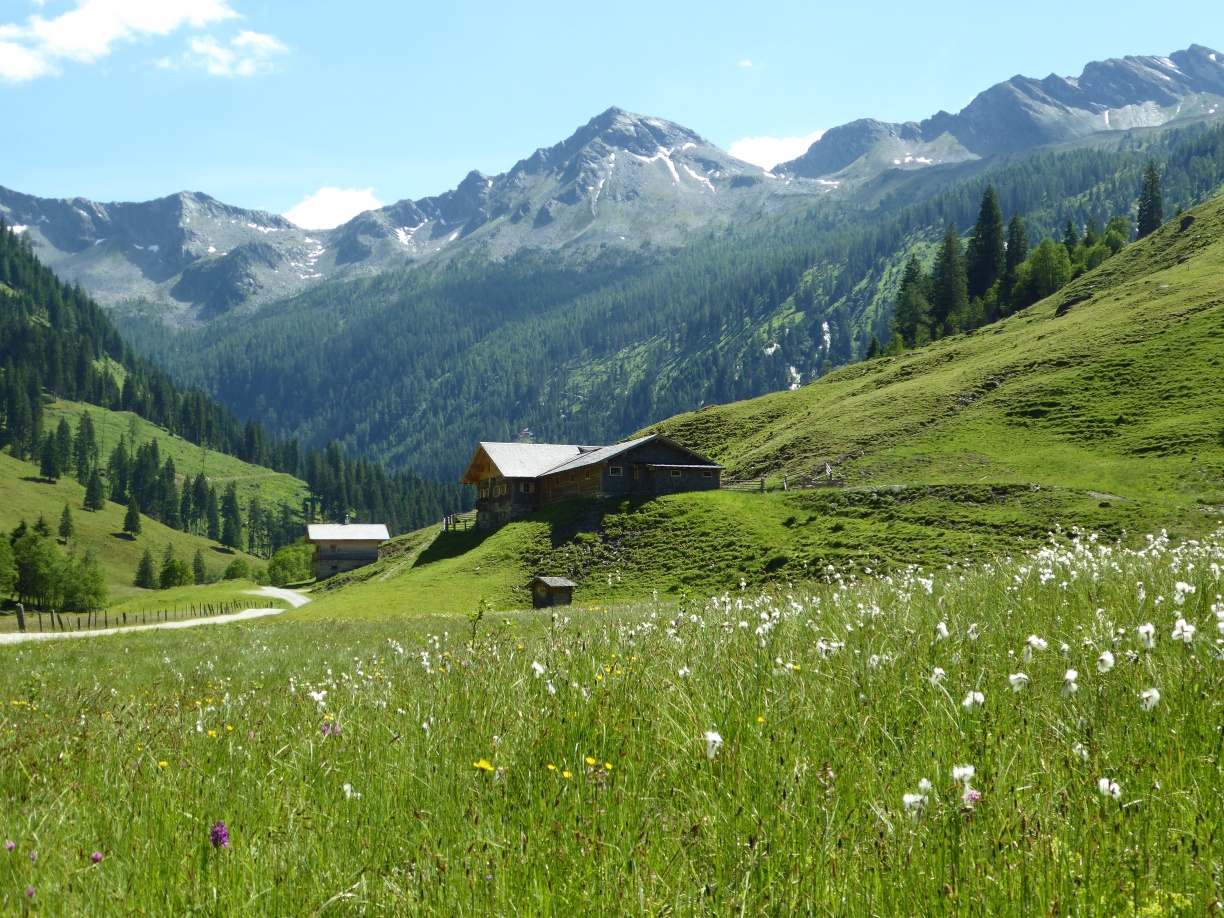
Before the main Alpine ridge rises at the end of the Großarltal into inhospitable areas just under 3,000 meters above sea level, a wonderful alpine pasture area spreads out beforehand. In the background, the Keeskogel glacier sparkles down into the valley, but our round to the three alpine pastures branches off beforehand in the opposite direction. The alpine journey thus remains always in the grassy green area, but those who want can also “take along” the Spielkogel or the opposite Plattenkogel (2,270 m), which is about 100 meters higher, from the highest point, the transition to the Hühnerkaralm. Because the end of the Großarltal marks the beginning of the Hohe Tauern National Park, the valley museum and an information point with all details about this unique cross-state protection project are located near the last bus stop.
moderate
5h 0min

11.47 km

Family-friendly

A to B

Hüttschlag

Seasons


Directions
Near the Hüttschlag valley end stop, path 50 to Modereggalm is already signposted. Initially gently ascending along the access road, then getting steeper in the forest until barns and fences announce the nearby Modereggalm (1,720 m) after almost two hours of walking. A wonderfully panoramic spot, perfect for a first rest, before continuing on path 50 over magnificent alpine pastures in one hour to the Hühnerkarscharte. Steep trails branch off north and south to the Plattenkogel (2,270 m) and the easier Spielkogel (2,144 m), requiring surefootedness. The 45-minute descent to the inviting Hühnerkaralm (1,699 m) and the further path to the beautiful Hub-Grundalm (1,311 m) are also steep but very walkable. Then begins a 1.5 km long, almost flat section along the access road (path 46) to the Hubalm chapel; shortly afterward, the path branches left towards Hüttschlag. Passing the prominently located parish church, the route leads down into the village center and continues to the Hüttschlag village center bus stop.
Information & contact
Mag. Christian Heugl
5400 Hallein
cheugl@a1.net
Image credit: Christian Heugl
By public transport
By train to St. Johann im Pongau station and by bus 540 to the Hüttschlag valley end stop. Return from Hüttschlag village center stop with bus 540 to St. Johann station.
Timetable information and downloads: Online at www.salzburg-verkehr.at or on your smartphone via the free Salzburg Verkehr app for Android and iOS.
Route profile
All content has been researched by the editorial team to the best of their knowledge. However, the editorial team of Salzburger Verkehrsverbund GmbH cannot guarantee the completeness, accuracy, or timeliness of the information provided. We kindly ask you to verify the details when planning your trip, as opening hours, admission prices, or other information may change. Any liability claims against the editorial team or Salzburger Verkehrsverbund GmbH relating to material or non-material damages arising from the use of the information provided, or from the use of incorrect or incomplete information, are generally excluded.