
Around the Mattsee
The fastest route to this destination
Around the Mattsee
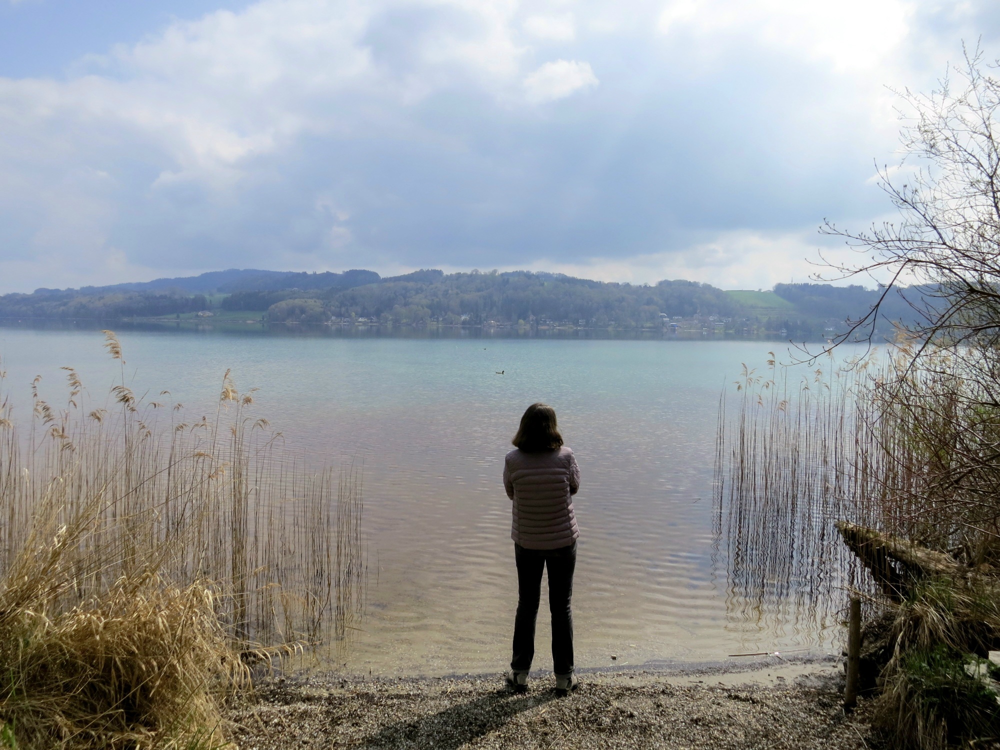
A DREAMLIKE CIRCUMNAVIGATION OF THE LAKE FOR SWIMMING, SIGHTSEEING, AND FALLING IN LOVE.
Fortunately, we no longer live in the early Middle Ages, when the circumnavigation of the then still connected three Trumer lakes would have been a task taking more than a whole day. The Ice Age and history still play a major role during this exciting time and nature journey around the lake. At the almost northernmost point in Gebertsham there awaits not only the rural church surprisingly richly equipped with a Gothic winged altar, but also several boulders transported here by glacial streams from the Tauern mountains, which you would not necessarily expect amidst the gentle lake idyll. Those who walk through the landscape with open eyes will discover much before the circle closes again in the historic town of Mattsee.
Direct arrival and details at: salzburg-erfahren.at
easy
3h 15min

12.25 km

Round trip

Mattsee

Seasons


Directions
From the bus stop Mattsee town centre, the path leads past the collegiate church to the lakeside promenade and turns there to the left to the historic, listed lido. A short ascent leads to the left over the hill and then follows to the right the pedestrian and cycle path, which runs over the narrow peninsula between Obertrumer See and Niedertrumer See (= Mattsee). Path M 1 turns right and leads alternately directly along the lake or a little above past beautiful farms. ATTENTION: On the north side at Rackersing, the previous hiking trail past the hut village is closed. There is a detour which currently unfortunately leads for about 1.5 km along the main road. An alternative route is under negotiation. We ask for your understanding! This is followed by the Nordmoor nature reserve, the lido, and on the elevation above, the late Gothic filial church of Gebertsham. The now following southeast-facing bays are more wooded; the path stays above the shore in this section. In the district of Ramoos, the route comes closer to the lake again, although a stronger shoreline development resumes here. Just before the school, the path turns right into the Weyer bay with its attractive rest and playgrounds. The short extra loop around the castle hill is a worthwhile treat to finish with.
Information & contact
www.mattsee.at/Tourismusverband_Mattsee, www.salzburger-seenland.at/unsere-orte/mattsee
Mag. Christian Heugl
5400 Hallein
christian.heugl@gmail.com
Photo credit: Christian Heugl
By public transport
From Salzburg main station (Südtirolerplatz) by bus 120 or 121 to Mattsee town centre.
Frequency: every half hour, on Sundays and public holidays every hour.
Timetable information and download: online at www.salzburg-verkehr.at or on your smartphone via the free Salzburg Verkehr app for Android and iOS.
Direct arrival and details at: salzburg-erfahren.at
Safety information
ATTENTION: On the north side at Rackersing the hiking trail is closed. There is a detour which currently unfortunately leads for about 1.5 km along the main road. An alternative route is under negotiation. We ask for your understanding!Route profile
All content has been researched by the editorial team to the best of their knowledge. However, the editorial team of Salzburger Verkehrsverbund GmbH cannot guarantee the completeness, accuracy, or timeliness of the information provided. We kindly ask you to verify the details when planning your trip, as opening hours, admission prices, or other information may change. Any liability claims against the editorial team or Salzburger Verkehrsverbund GmbH relating to material or non-material damages arising from the use of the information provided, or from the use of incorrect or incomplete information, are generally excluded.