


From Bad Vigaun to St. Koloman
The fastest route to this destination
From Bad Vigaun to St. Koloman
From the cool rock pool on the Taugl in Bad Vigaun up to the eye bath in the sun-drenched mountain village of St. Koloman.
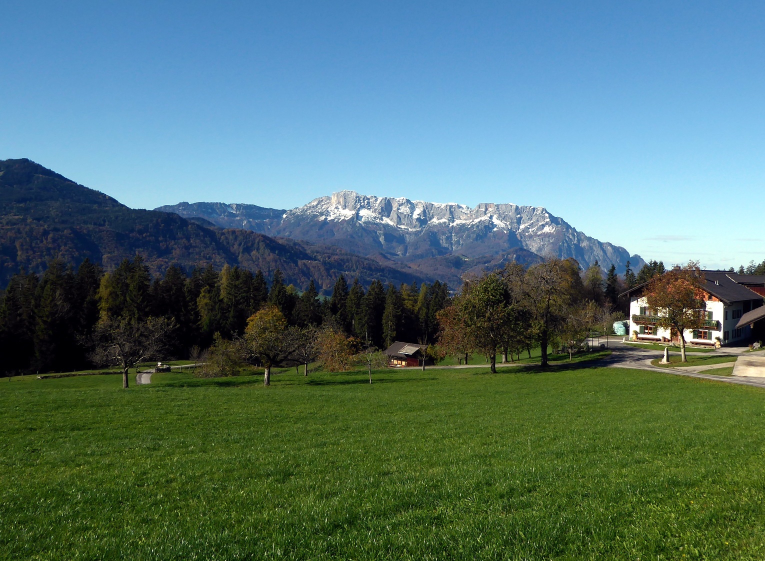
The route from Bad Vigaun to the mountain village St. Koloman crosses very different regions. In the valley, the themed route “Lifeline Taugl” fascinates. Accompanied by many stations, it runs along the wild river through the fantastic Natura 2000 conservation area. Shortly after, the sun-drenched valley plain Unterlangenberg follows, where Roman settlers were already practicing agriculture. After the flat warm-up phase, the route continues on the ascending, not always clearly visible forest paths to Oberlangenberg. Then, on the sunny, mostly agriculturally used high plateaus, the route temporarily switches to the network of existing farm access roads. The atmospheric conclusion of the long hike is the Taugl dialect crucifix path, which leads past chapels and farms into the village of St. Koloman.
moderate
3h 45min

11.83 km

A to B

Sankt Koloman

Seasons


Directions
Before the Bad Vigaun train station, the signposted route "To the Lifeline Taugl" branches off to the right and crosses the Taugl forest, where there is much interesting information to be found at the information stations. The path follows the road through the motorway underpass; behind it begins the European conservation area Taugl. After 2.3 kilometers, at the medieval Roman bridge, the magnificent themed path "Lifeline Taugl" ends. About 300 m after the bridge, our route branches off to the left into a forest road. Along the meadow edge of the sunny plain Unterlangenberg, the path now follows the southbound, yellow-marked "Leonhards Pilgrimage Path". This branches off after 2 km to the left into the hillside forest (path 18, St. Koloman) and orients itself, turning left twice, on new and old forest roads. After a total of two hours, the sometimes faintly marked route reaches the idyllic high plain Unterschorn, crosses it and then follows the driveway past the Oberschorn farm to a fork with a chapel. The Leonhards path branches left into the forest, meets another fork and now leads slightly uphill on the right along Brunaustraße. After 1.5 km the road stretch is over, the Leonhards path turns left and merges at the Thalheim path into the dialect crucifix path passing here. After 20 minutes, the village of St. Koloman appears behind a hill crest. The bus stop is diagonally above the "Tauglerei."
Information & contact
Mag. Christian Heugl
5400 Hallein
christian.heugl@gmail.com
Image credit: Christian Heugl
By public transport
By train S 3, bus 470, bus 460 or bus 42 to Bad Vigaun station. Return from St. Koloman village center (marketplace) with bus 460.
Interval / frequency: Bus 460 hourly on weekdays, otherwise every 2 hours.
Timetable information and download: Online at www.salzburg-verkehr.at or on your smartphone via the free Salzburg Verkehr app for Android and iOS.
Route profile
All content has been researched by the editorial team to the best of their knowledge. However, the editorial team of Salzburger Verkehrsverbund GmbH cannot guarantee the completeness, accuracy, or timeliness of the information provided. We kindly ask you to verify the details when planning your trip, as opening hours, admission prices, or other information may change. Any liability claims against the editorial team or Salzburger Verkehrsverbund GmbH relating to material or non-material damages arising from the use of the information provided, or from the use of incorrect or incomplete information, are generally excluded.