


From Ellmautal in Großarl over the Klaussattel into the Kleinarltal
The fastest route to this destination
From Ellmautal in Großarl over the Klaussattel into the Kleinarltal
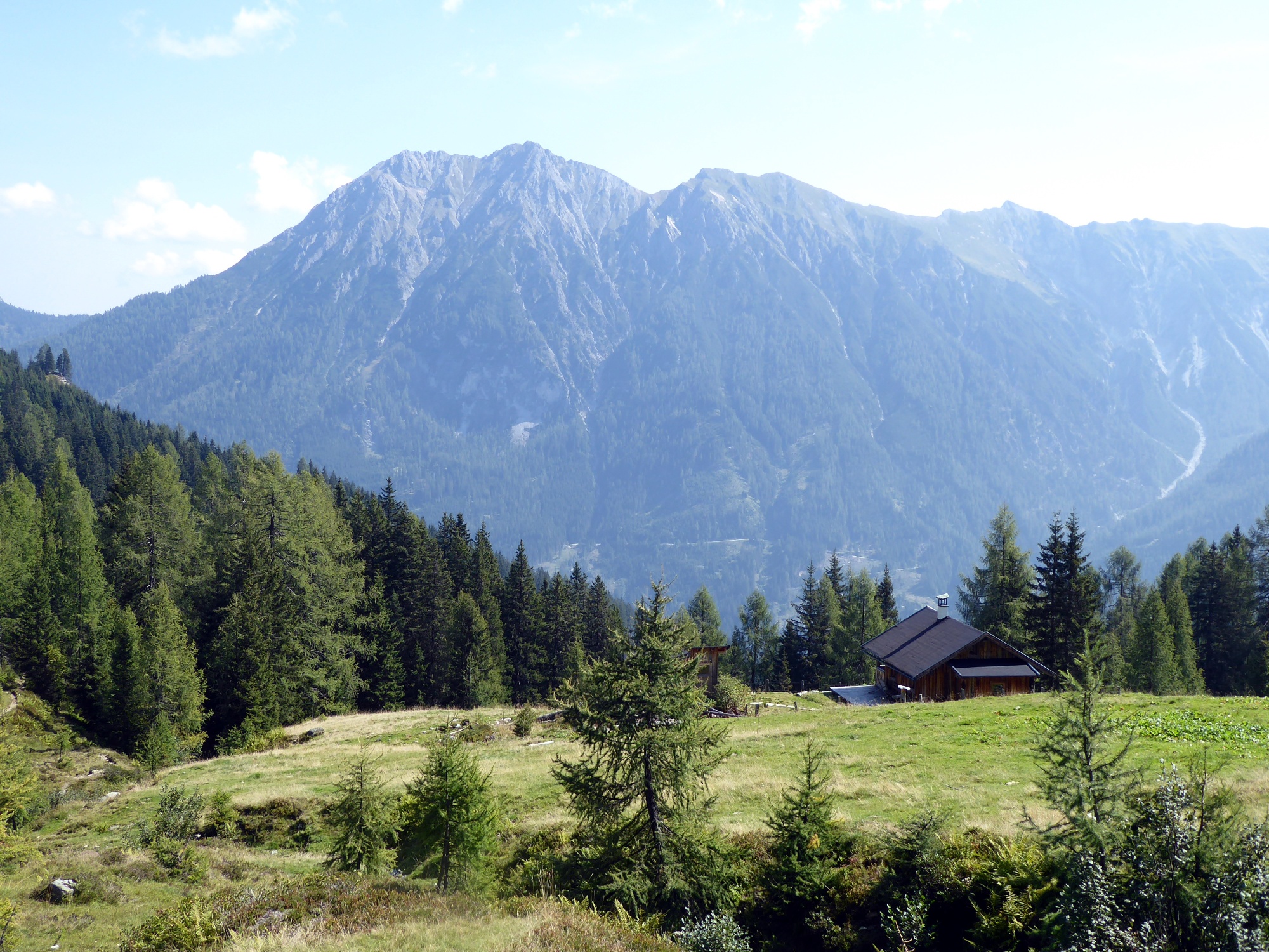
The broad ridge between Draugstein and Gründegg separates the Großarl Valley from the Kleinarltal. One of the numerous crossings leads very quietly over the Klaussattel.
Between the two parallel-running Arl valleys, there are several crossings. One of the obviously little used connecting routes leads from the touristically well-developed Ellmautal over the Klaussattel (2,026 m) on now very lonely paths into the Kleinarltal. Now you have to pay attention to the path, but there is a great chance in this natural area to come across tasty berries, mushrooms, and rare animals. In the hiking season from July to mid/end October, the bus connection to the end of the valley Grundlehen (1,322 m) in the Ellmautal is very good; the bus also runs hourly on weekdays from the Kleinarltal to St. Johann.
moderate
4h 0min

9.79 km

Family-friendly

A to B
Multi-day tour

Großarl

Seasons


Directions
The starting point is the final stop Großarl Grundlehen of line 541. Path 60 to the Loosbühelalm follows the access road as a comfortable option or, a bit shorter, the steeper path. After 1¼ hours, having arrived at the Loosbühel-Erlebnis-Alm (1,767 m, open daily until early Nov.), the path leads directly over the terrace past the umbrella bar to a fork in the path. Route 60a towards Gründegg crosses to the Klaussattel in half an hour; the variant 60 ("Filzmoossattel") takes a bit longer, first steeply leading onto the incredibly scenic ridge and then branching left along it with smaller ascents to the Klaussattel. There the path 83 branches off to the right downhill, reaches the unmanaged Roßfeldalm (1,706 m) after 40 minutes, and follows the partly hard-to-recognize path for an hour through the forest to the Öbrist forest road. After another 40 minutes in the valley floor, it goes first 400 meters left and then right over the Ache river to the Kleinarl Unterfloß stop.
Information & contact
www.grossarltal.info, www.wagrain-kleinarl.at
Mag. Christian Heugl
5400 Hallein
christian.heugl@gmail.com
Image credit: Christian Heugl
By public transport
From St. Johann station (forecourt) take bus 540 to Großarl town center and with bus 541 (runs July - Oct) to Großarl Grundlehen. Return from Kleinarl Unterfloß with bus 530 to St. Johann.
Timetable information and download: Online at www.salzburg-verkehr.at or on your smartphone via the free Salzburg Verkehr app for Android and iOS.
Route profile
All content has been researched by the editorial team to the best of their knowledge. However, the editorial team of Salzburger Verkehrsverbund GmbH cannot guarantee the completeness, accuracy, or timeliness of the information provided. We kindly ask you to verify the details when planning your trip, as opening hours, admission prices, or other information may change. Any liability claims against the editorial team or Salzburger Verkehrsverbund GmbH relating to material or non-material damages arising from the use of the information provided, or from the use of incorrect or incomplete information, are generally excluded.