


From Faistenau to Ebenau
The fastest route to this destination
From Faistenau to Ebenau
BOTH PLACES ARE CONNECTED NOT ONLY BY AN APPEALING, ALL-WEATHER SUITABLE PATH BUT ALSO BY EXCELLENT CONNECTIONS THROUGH REGIONAL BUSES.
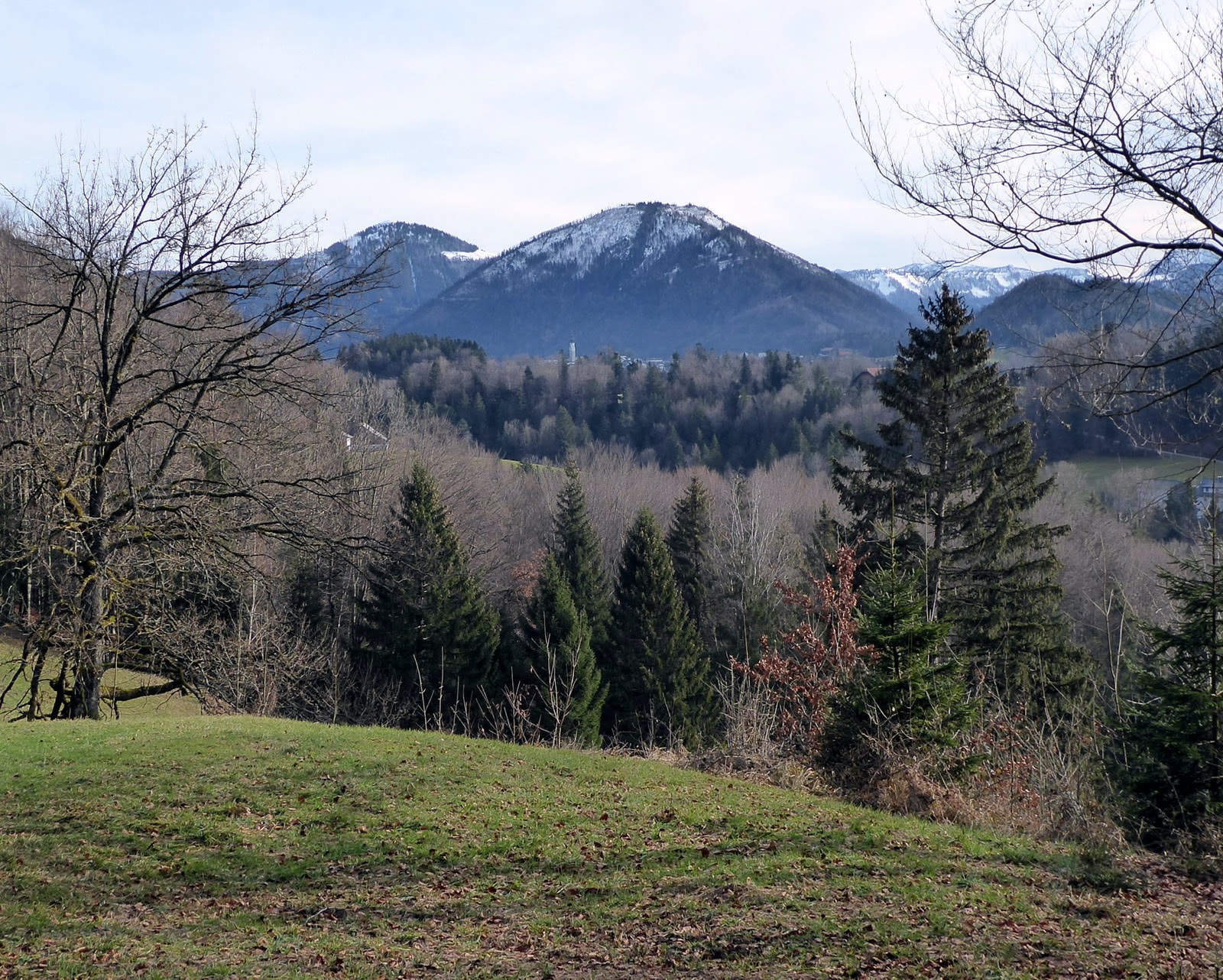
Between Faistenau and Ebenau there are still significant differences. One is the elevation difference, as the settlement of Faistenau, located on a moraine cone, is at 786 m above sea level, making it the highest municipality in Flachgau, while Ebenau lies 160 meters lower. For the village-connecting hike, this is no disadvantage, as the leisurely path from Faistenau to Ebenau always gently descends. However, anyone wanting a bit more effort and to gain some elevation could leave the shortest connection after one hour and continue hiking to Ebenau via the 30 minutes longer Siederhöhe variant (path 68). Ebenau and Faistenau also differ in landscape structure. While Ebenau is characterized by streams and thus became a sought-after location for water-powered iron and brass industry, Faistenau is dominated by large, open areas. So, the hike promises variety.
Direct arrival and details at: salzburg-erfahren.at
easy
2h 30min

8.40 km

Family-friendly

Stroller-friendly

A to B
Multi-day tour

Faistenau

Seasons


Directions
From the bus stop Faistenau village center, walk a few meters towards the church, before the municipal office the path 44 (Lidaun) branches off to the right into the ravine. If the path conditions are too unsafe (snow, ice), a small detour along the village access road towards the state road is recommended; shortly before it branches off left to connect to the Lidaun path. At the meeting of the two routes stands the cross spruce. The many memorial boards recall a formerly common custom of remembering the deceased. The route to Ebenau follows the Lidaun road along the mountain foot and then branches off to the right into the forest within sight of the tastefully renovated snack station Ebnerwirt. At the end of this winding steep section, the Siederhöhe variant branches to the right towards the nearby forest lodge, runs in a large arc to the highest point (780 m), and leads along the sunny farm access road into the village. The direct, half-hour path 68 straight ahead at this junction stays in the ravine and follows the Schwarzaubach. The Ebenau village center bus stop is located at the recycling yard and is reached via the Wiestal road underpass.
Information & contact
www.ebenau.at; www.fuschlseeregion.com;
Mag. Christian Heugl
5400 Hallein
cheugl@a1.net
Photo credit: Christian Heugl
By public transport
Arrival from Salzburg main station Südtiroler Platz by bus 155 to Faistenau village center.
Return from Ebenau village center by bus 154 to Koppl Sperrbrücke and by bus 155 towards Salzburg main station.
Timetable information and download: Online at www.salzburg-verkehr.at or on your smartphone via the free Salzburg Verkehr app for Android and iOS.
Direct arrival and details at: salzburg-erfahren.at
Route profile
All content has been researched by the editorial team to the best of their knowledge. However, the editorial team of Salzburger Verkehrsverbund GmbH cannot guarantee the completeness, accuracy, or timeliness of the information provided. We kindly ask you to verify the details when planning your trip, as opening hours, admission prices, or other information may change. Any liability claims against the editorial team or Salzburger Verkehrsverbund GmbH relating to material or non-material damages arising from the use of the information provided, or from the use of incorrect or incomplete information, are generally excluded.