


On the “Erzweg Kupfer” from Hüttau to Bischofshofen
The fastest route to this destination
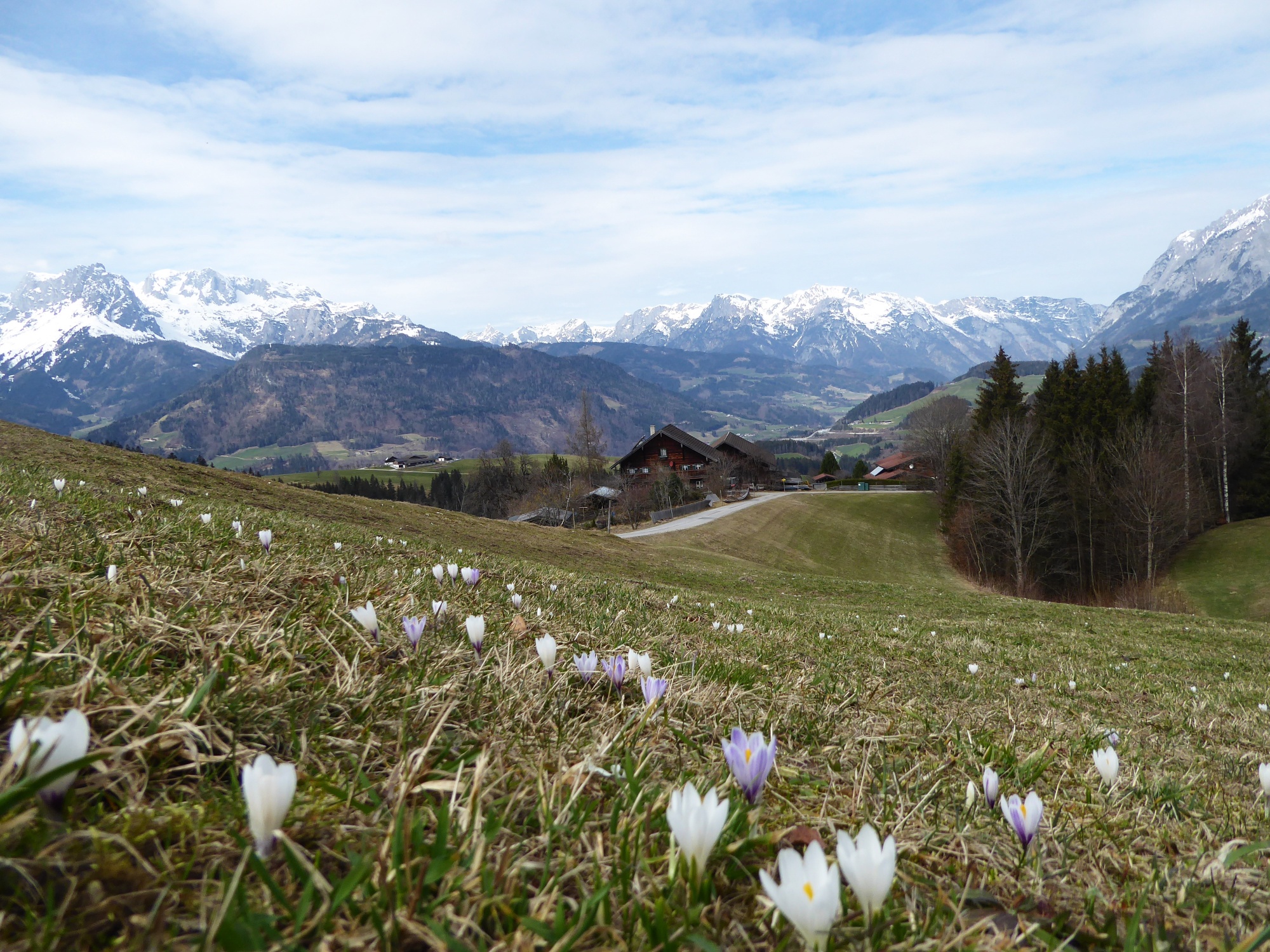
On the “Erzweg Kupfer” from Hüttau to Bischofshofen
THE HIKE BETWEEN THE FORMER MINING REGIONS LEADS THROUGH THE UNESCO GEOPARK “ERZ DER ALPEN”.
The “Erzweg Kupfer”, consisting of several daily stages, connects the Bronze Age eastern Alpine center of copper mining at Mitterberg in Mühlbach am Hochkönig with Bischofshofen, St. Veit, and Hüttau. Traces of the valuable material can be found everywhere: show mines, museums, or even slag next to the old smelting ovens. A particularly charming section of the route leads from the old mining settlement of Hüttau over the Fritzerberg to Bischofshofen. The bus stop in Hüttau is located directly in front of the renovated miners’ house, which today houses the municipal office and on the top floor a museum of mining worth seeing. The interesting show mine is 20 minutes’ walk away in the Larzenbach valley, which branches northwards behind the church. Recommended at the end of the hike, before descending to Bischofshofen, is also the short detour to the picturesque Buchberg church. In front of the church with its valuable Gothic exterior frescoes, a significant cattle market with up to 1,000 horses was held until the 19th century. The valley-crossing hike runs mostly on farm driveways and is especially suitable for the snow-free transition period.
easy
4h 0min

12.30 km

A to B

Hüttau

Seasons


Directions
Starting from the bus stop Hüttau town center, our path passes the ADEG store and the cemetery, then turns left through an underpass and then right along the driveway to the Fritzerberg. The direction "Jausenstation Höllgrub" turns off left after 2.5 km, but the Erzweg leads straight ahead to the particularly beautifully situated Zinkerl farm and further to the Obauer house, in front of which an original 50 km/h limit refers to a birthday child. The briefly somewhat confusing route passes to the right past the house and follows the forest path over ditches to the Loipfer farm. The Erzweg turns sharply left here, crosses a ditch, and shortly after a Geopark info point reaches the farms of Oberberg. Along the driveway now towards Buchberg church, at the junction then left to the Schurfbau Lehen and at the next fork again left past the mill and the Rain chapel, steeply down on the Way of the Cross to Bischofshofen. Continuing to the little pier house in front of the Salzach bridge and then 400 m along the right bank of the Salzach to the new pedestrian bridge which leads directly into the underpass to the platforms at Bischofshofen station.
Information & contact
http://geopark-erzderalpen.at/, https://tvbhuettau.jimdo.com/, https://bischofshofen.com/
Mag. Christian Heugl
5400 Hallein
Photo credit: Christian Heugl
By public transport
From Salzburg main station to Bischofshofen station (forecourt). By bus 510 to Hüttau town center. Return from Bischofshofen station. Several train connections hourly in both directions.
Timetable information and download: Online at www.salzburg-verkehr.at or on your smartphone via the free Salzburg Verkehr app for Android and iOS.
Route profile
All content has been researched by the editorial team to the best of their knowledge. However, the editorial team of Salzburger Verkehrsverbund GmbH cannot guarantee the completeness, accuracy, or timeliness of the information provided. We kindly ask you to verify the details when planning your trip, as opening hours, admission prices, or other information may change. Any liability claims against the editorial team or Salzburger Verkehrsverbund GmbH relating to material or non-material damages arising from the use of the information provided, or from the use of incorrect or incomplete information, are generally excluded.