


Six mountain lakes at Obertauern
The fastest route to this destination
Six mountain lakes at Obertauern
A WEEKEND TRIP WITH HUT ROMANCE IN THE LUNGAU MOUNTAINS
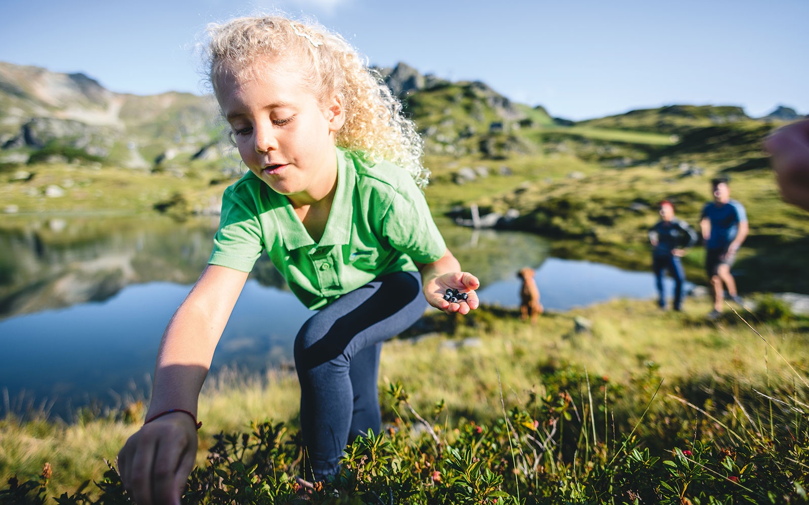
Be sure to pack your toothbrush in your hiking backpack for the next sunny weekend. Besides the six lakes: Twenger Almsee, Upper and Lower Schönalmsee, Wirpitschsee, Oberhüttensee, and Hundsfeldsee, staying overnight at the snack hut Granglerhütte is a fixed part of our two-day route. Although “snack” is a bit of an understatement here: looking at the menu with hearty Lungau specialties, such as blood sausage hash and cheese dumplings from the pan, makes hungry hikers salivate. Freshly fortified, you lay your tired head to rest in the cozy, old hut and let the sound of the brook and ringing cowbells lull you into the realm of dreams. With these views, the ascent and descent to the Granglerhütte at 1320 meters altitude feels easy. Speaking of views: a hike in the Lungau mountains is also a feast for the eyes. The blue and white sky is reflected in the crystal-clear water of the lakes and brooks. On the lush green alpine meadows, content cows graze with their calves. On the second day, enjoy the view from Seekarscharte, which at 2,022 meters is the highest point of this stage. With some luck, you will spot the playful marmots that live here – before the animals retreat to their underground realm with piercing whistles.
moderate
10h 35min

27.56 km

Round trip

Obertauern

Seasons


Directions
The starting point is the Obertauern Schaidberg Jugendheim bus stop. To the right, you pass the modern youth hotel; behind it are the distinctive yellow signposts indicating the way to Twenger Almsee, with one and a half hours travel time. The old, nicely laid-out alpine path is only a bit steeper at the beginning. After one hour, the Twenger Alm (1990 m) offers the first opportunity to stop before the path becomes steep again. The next mandatory stop is the wonderful Twenger Almsee (2120 m), which according to a study is one of the warmest lakes in the Schladminger Tauern. However, temperatures above 15 degrees are still the exception. Along the southern shore, the trail leads up to a saddle, from where our path heads down to the left to the two Schönalm lakes. Past ancient stone pines, the Wirpitschsee and the serviced Toni-Mörtl Hut (1750 m) follow as two more highlights. On the comfortable alpine road or on the shorter footpath, it goes down into the Weißpriach valley to the Ulnhütte, then turning right and in 15 minutes to the very cozy overnight accommodation Granglerhütte (1320 m). The next day, the path leads gently uphill into the valley and reaches after two hours walking the unique Oberhüttensee with the serviced Oberhütte (1869 m). The further way to the Seekarscharte branches off immediately at the beginning of the saddle to the left. After an hour, having reached the highest point of the day, the route leads down to the strictly protected Natura 2000 area Hundsfeldmoor. Here is one of the few breeding sites of the rare red-spotted bluethroat. The shortest path leads directly into the center of Obertauern (Obertauern Passhöhe stop) or, earlier, turning left to the Obertauern Schaidberg Jugendheim stop.
Information & contact
Obertauern Tourism Association
Pionierstraße 1
5562 Obertauern
Phone: +43 (0)6456 7252
Image credit: Obertauern Tourism Association
By public transport
You can reach Obertauern from Radstadt by taking regional bus 280. For hiking, get off at the Obertauern "Schaidberg Jugendheim" bus stop. The same bus also takes you to the wildlife and leisure park; to get there, use the "Lürzerhof" bus exit and walk 350 meters to the park entrance.
Timetable information and downloads: Online at www.salzburg-verkehr.at or on your smartphone via the free Salzburg Verkehr app for Android and iOS.
Route profile
All content has been researched by the editorial team to the best of their knowledge. However, the editorial team of Salzburger Verkehrsverbund GmbH cannot guarantee the completeness, accuracy, or timeliness of the information provided. We kindly ask you to verify the details when planning your trip, as opening hours, admission prices, or other information may change. Any liability claims against the editorial team or Salzburger Verkehrsverbund GmbH relating to material or non-material damages arising from the use of the information provided, or from the use of incorrect or incomplete information, are generally excluded.