
Between Altenmarkt and Radstadt
The fastest route to this destination
Between Altenmarkt and Radstadt
TWO ROUTES FROM ALTENMARKT TO RADSTADT: EITHER LEISURELY ALONG THE VALLEY FLOOR BY THE ENNS OR A BIT MORE DEMANDING OVER THE SCHWEMMBERG.
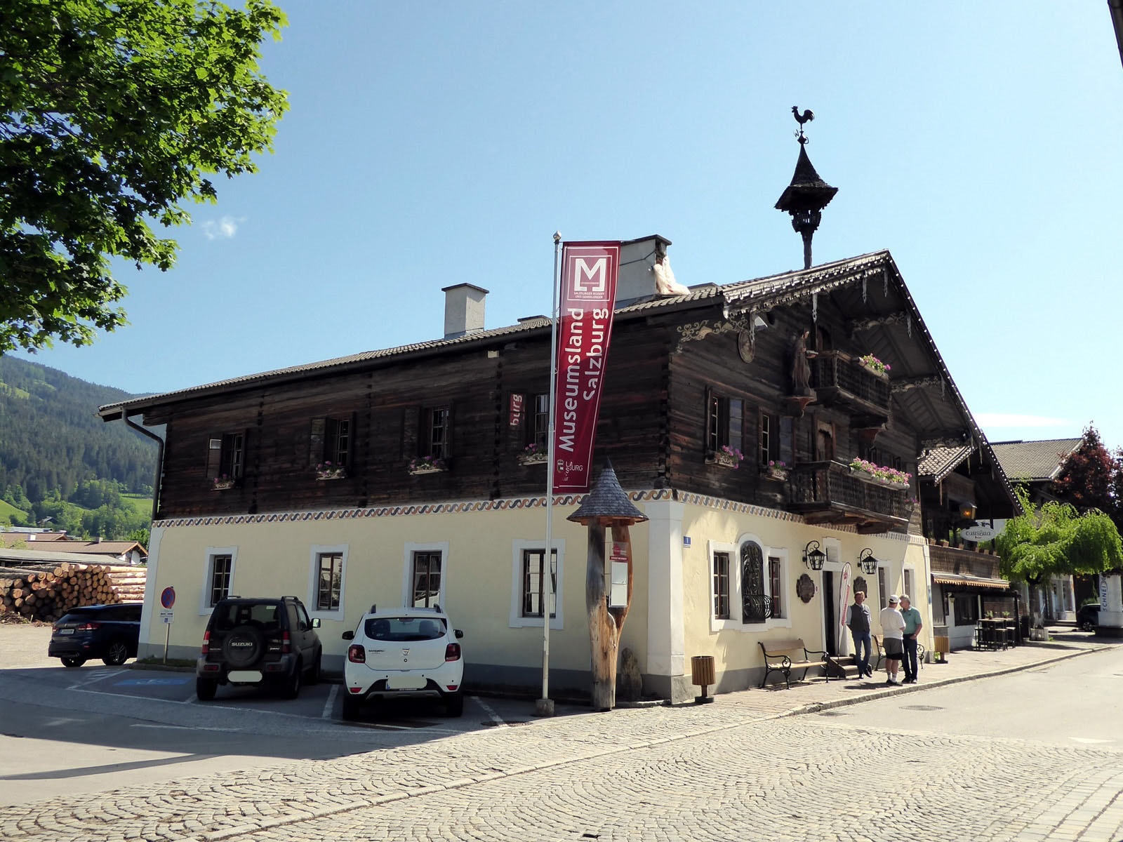
Since the old market (= Altenmarkt) was frequently threatened by the Enns, the local rulers decided in the 13th century to systematically relocate the town to the flood-safe plateau, 3 km west above the valley floor. Furthermore, in the new settlement Radstadt, the external border to Styria and the trade routes could be better secured. Radstadt was surrounded by an impressive ring wall that still impresses today. The high-quality museums in both communities shed light on historical and regional events. A highlight in the Altenmarkt local history museum is the mechanical Grundner nativity scene from 1740, which was built into an old loom. It is still “played” today to the delight of young and old with the help of countless cords. In the Capuchin Tower Museum in Radstadt, the roof truss completed in 1534 can be admired in its original condition, and the unique Radstadt time documents await in Lerchen Castle. With less ideal weather, a pleasurable museum walk between Altenmarkt and Radstadt along the Enns could therefore be on the agenda (1 hour, 3 km); a longer option is the forest and meadow route over the Schwemmberg on the southern side of the Rossbrand.
easy
3h 0min

8.74 km

A to B

Altenmarkt im Pongau

Seasons


Directions
The starting point is the Altenmarkt Marktplatz bus stop. From the newly designed market square in front of the church, the path leads via Brunnbauerngasse past the nearby local history museum to the junction “Ennsweg 1” (right). After one kilometre the paths part: the short, 3/4-hour and pram-friendly connection to Radstadt stays on the riverside path; the twice as long “mountain variant” (path 64) branches off left and passes the magnificent Tandalier Castle (today a federal sports home) up to the Nöglhof. Caution, path 64 here changes somewhat inconspicuously to the other side of the stream, then runs through steep high forest to a fork and crosses with only a slight slope to the snack station Bürgerbergalm 2 km away (3,839 ft, 1,170 m). The descent to Radstadt (path 462) runs mostly along a forest trail, in the lower section it follows the driveway. A small detour leads right to the Lorettokirche and from there up steps to Lerchen Castle Museum. The path to the train station is exemplary marked with exact times and leads along the historic city wall to the destination. Return by train or as a circular route on foot back to Altenmarkt.
Information & contact
www.altenmarkt.at, www.altenmarkt-zauchensee.at, www.radstadt.com
Mag. Christian Heugl
5400 Hallein
cheugl@a1.net
Image credit: Christian Heugl
By public transport
From the train stations St. Johann, Bischofshofen, or Radstadt with the respective regional buses 510, 520, 521, 522, or 270 to the Altenmarkt Marktplatz stop. Return from Radstadt train station.
Timetable information and download: Online at www.salzburg-verkehr.at or on your smartphone via the free Salzburg Verkehr app for Android and iOS.
Route profile
All content has been researched by the editorial team to the best of their knowledge. However, the editorial team of Salzburger Verkehrsverbund GmbH cannot guarantee the completeness, accuracy, or timeliness of the information provided. We kindly ask you to verify the details when planning your trip, as opening hours, admission prices, or other information may change. Any liability claims against the editorial team or Salzburger Verkehrsverbund GmbH relating to material or non-material damages arising from the use of the information provided, or from the use of incorrect or incomplete information, are generally excluded.