


Around the Feichtenstein
The fastest route to this destination
Around the Feichtenstein
ON THIS HIKE IN HINTERSEE, THERE IS MUCH TO EXPERIENCE: ROMANTIC ALMS AGAINST A GRAND BACKDROP, BIZARRE WATERFALLS, OR AN EXCITING THEMED ROUTE.
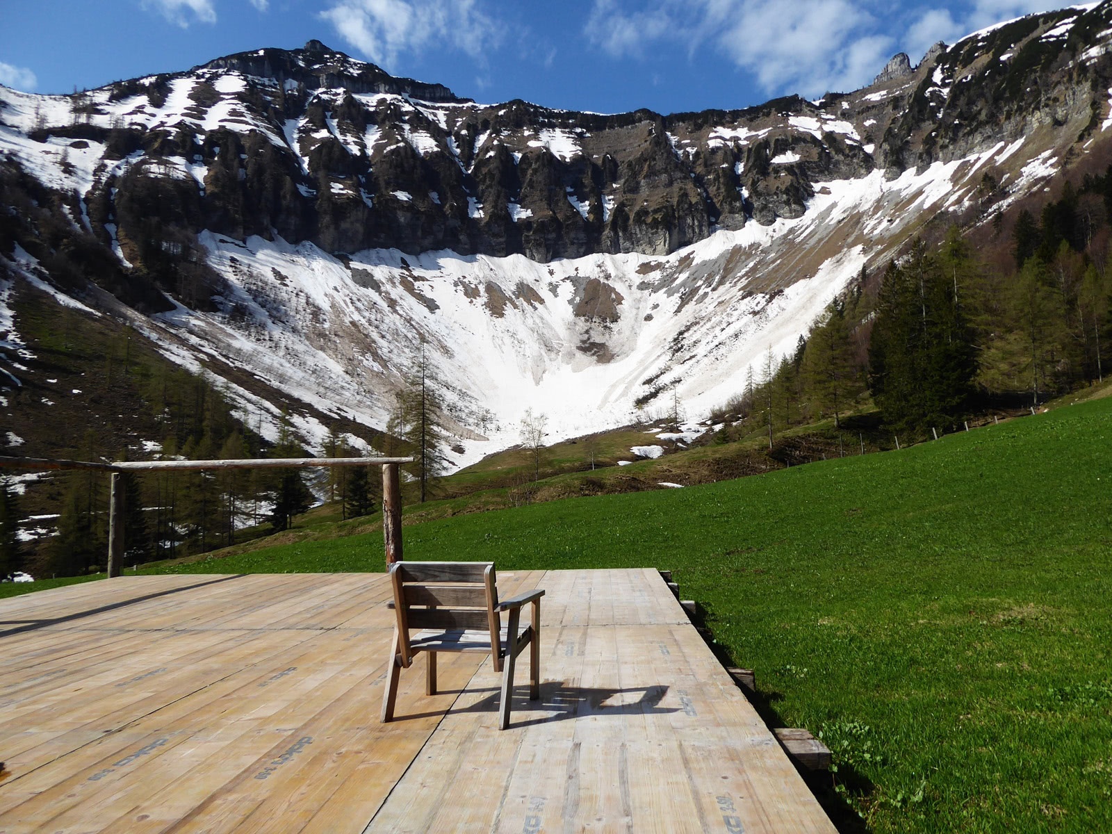
The Feichtenstein (1249 m) near Hintersee has two faces: on one side, facing the village, a steep tooth with a rock face dropping vertically over 150 meters, on the other side a charming alpine pasture area like from a romantic homeland film. But no worries, the hike starting at the valley head of Lämmerbach focuses more on the alms, the steep flanks are just the exciting frame. This is also true at the start of the route at the picturesque Gruberalm, which in its unique high valley location is surrounded by the mountain giants Gennerhorn, Gruberhorn, and Regenspitz. The highly varied hike then leads to the northern spur of the Regenspitz before the route closes via the fascinating waterfall path and the Joseph Mohr anniversary path built in the Silent Night jubilee year 2018 in the village of Hintersee.
Direct travel and details at: salzburg-erfahren.at
moderate
3h 0min

8.28 km

Family-friendly

A to B

Hintersee

Seasons


Directions
From the stop Hintersee Lämmerbach, the path leads another 400 meters along the access road into the valley head and now follows the signposts to Gruberalm. After half an hour, directly after the bridge over the Gruberbach, there is a left-turn shortcut via a steep forest path. The amazement is great when shortly after the huge mountain arena (1040 m) opens up, in the middle of which three alms invite for a stop. The marked path 57 to the Feichtenstein Alm branches off near the Hinterleiten Hut northwestwards and runs almost two kilometers without significant altitude gain first through a spruce-fir forest and then through a pure beech forest. Shortly before the ridge and the merging into the broad alm path, there is still a small steep section. The operated Stegleiten Hut on the Feichtenstein Alm is located a few minutes above, the 20-minute path to the Feichtenstein cross (1249 m) branches off to the right (N), but the descent to Hintersee (paths 850, 851, 851 a) continues on the alm path. Upon reaching the Tiefenbach bridge, the variant following the bizarre Tiefenbach is definitely recommended; at the valley car park with the huge boulder transported here by glacier stream, the Mohr Memorial Path branching off to the right is a charming finale. The bus stop in the village of Hintersee is located opposite the fire station. Those who need to return to the car park turn right before the Mohr Chapel.
Information & contact
Alms on the Gruberalm: Grubenbachhütte, Hinterleitenhütte, and Mayerlehenhütte ( www.gruberalm.at).
https://fuschlsee.salzkammergut.at/salzburg-see-orte/hintersee.html
Mag. Christian Heugl
5400 Hallein
cheugl@a1.net
Photo credit: Christian Heugl
By public transport
From Sbg. Main Station (Südtiroler Platz) take bus 155 to Faistenau Schule, then bus 157 to Hintersee Lämmerbach. Return from Hintersee town center with bus 157 to Faistenau Schule and bus 155 to Sbg. Main Station (Südtiroler Platz).
Timetable information and download: Online at www.salzburg-verkehr.at or on your smartphone via the free Salzburg Verkehr app for Android and iOS.
Direct travel and details at: salzburg-erfahren.at
Route profile
All content has been researched by the editorial team to the best of their knowledge. However, the editorial team of Salzburger Verkehrsverbund GmbH cannot guarantee the completeness, accuracy, or timeliness of the information provided. We kindly ask you to verify the details when planning your trip, as opening hours, admission prices, or other information may change. Any liability claims against the editorial team or Salzburger Verkehrsverbund GmbH relating to material or non-material damages arising from the use of the information provided, or from the use of incorrect or incomplete information, are generally excluded.