


From Bischofshofen to the Hochkeil
The fastest route to this destination
From Bischofshofen to the Hochkeil
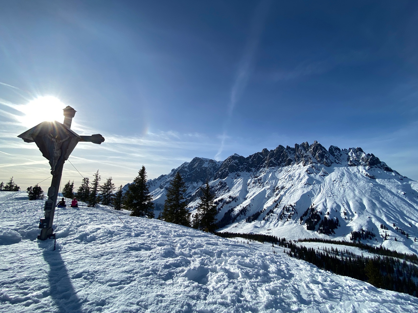
Long but easy ski route on the Hochkeil in Mühlbach with a fantastic panoramic view of the Hochkönig.
Longer but easy and relatively avalanche-safe ski route from Bischofshofen to the Hochkeil. The ascent is signposted and mostly leads through open terrain off-piste through the forest. At the summit, you stand directly in front of the impressive Hochkönig massif and meet many ski tourers who have ascended from Arthurhaus. The panoramic view is impressive. From the summit, you descend via the Hochkeil ski piste and turn halfway to the specially prepared forest path Knappensteig for ski tourers. From there, it goes back to Bischofshofen.
moderate
3h 55min

16.43 km

Round trip

Bischofshofen

Seasons


Directions
Provided there is sufficient snow cover, the route can start in the Schanzengelände of Bischofshofen. Always well signposted, it first goes through the forest and over some open meadows past the Gasthof Bürglhöh before leaving the prepared part by turning left and ascending on the long east ridge through quiet snowy forests to the summit. The descent takes place via the Hochkeil ski piste and halfway down, it turns onto the prepared forest path Knappensteig, which leads back to the starting point.
Information & contact
Hochkeil ski area:
Theresa Schilling
5020 Salzburg
theresaschilling@googlemail.com
Image credits: Theresa Schilling, Per Oftedal
By public transport
Bischofshofen train station, where local trains and long-distance trains run several times per hour. From there, it is about a 10-minute walk through the town to the starting point.
Timetable information and download: Online at www.salzburg-verkehr.at or on your smartphone via the free Salzburg Verkehr app for Android and iOS.
Safety information
Observe the avalanche warning level! Complete ski touring equipment. Weather and avalanche information at www.lawine.salzburg.atRoute profile
All content has been researched by the editorial team to the best of their knowledge. However, the editorial team of Salzburger Verkehrsverbund GmbH cannot guarantee the completeness, accuracy, or timeliness of the information provided. We kindly ask you to verify the details when planning your trip, as opening hours, admission prices, or other information may change. Any liability claims against the editorial team or Salzburger Verkehrsverbund GmbH relating to material or non-material damages arising from the use of the information provided, or from the use of incorrect or incomplete information, are generally excluded.