
Hiking in Obertauern
The fastest route to this destination
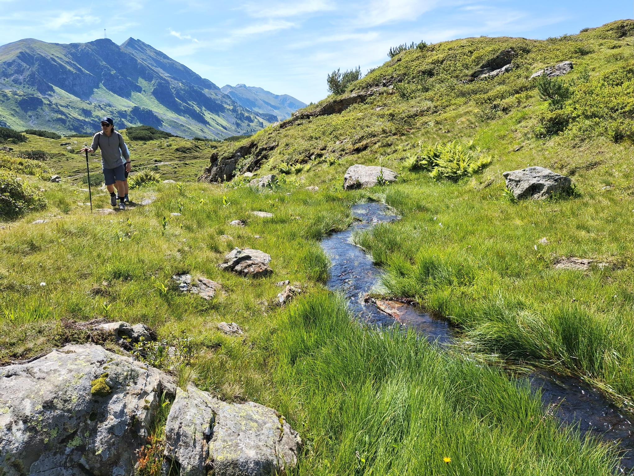
Hiking in Obertauern
From the pass height past Hundsfeldsee to the Seekarscharte (2022 m) and back via the Grünwaldsee.
In winter, Obertauern spoils with spectacular slope experiences, in summer the high-altitude town scores with a generous hiking offer. The paths are much quieter then, and alpine animals graze on the slopes. Also, the many small lakes, which rest unnoticed under the thick snow cover in winter, become visible and some even invite you for a swim on hot days.
Direct arrival and details at: salzburg-erfahren.at
moderate
3h 0min

8.53 km

Family-friendly

A to B

Obertauern

Seasons


Directions
From the Obertauern Passhöhe stop, the route leads a few meters south to the Seekarscharte and then turns left into Seekarstraße. Past the bird sanctuary Hundsfeldmoor and Hundsfeldsee, the path reaches the operated Dikt`n Alm and the Seekarhaus along the access road after 45 minutes. The further, just under three-quarter-hour ascent to the cross on the Seekarscharte gets steeper and can follow either the service road or the natural path. On the same way back, shortly before reaching Seekarhaus, the direction "Grünwaldsee" branches to the right. Once there, the descent can either be comfortably done with the Grünwaldkopfbahn cable car, or the decision is made to take the branching footpath (sign "Grünwaldkopfbahn 50 min."). Diagonally opposite the valley station is the bus stop.
Information & contact
Mag. Christian Heugl
5400 Hallein
christian.heugl@gmail.com
Photo credit: Christian Heugl
By public transport
From Radstadt station (Bahnhofstraße) by bus 280 to Obertauern Passhöhe. Return by bus 280 from Obertauern Grünwaldkopfbahn valley station.
Timetable information and download: online at www.salzburg-verkehr.at or on your smartphone via the free Salzburg Verkehr app for Android and iOS.
Direct arrival and details at: salzburg-erfahren.at
Route profile
All content has been researched by the editorial team to the best of their knowledge. However, the editorial team of Salzburger Verkehrsverbund GmbH cannot guarantee the completeness, accuracy, or timeliness of the information provided. We kindly ask you to verify the details when planning your trip, as opening hours, admission prices, or other information may change. Any liability claims against the editorial team or Salzburger Verkehrsverbund GmbH relating to material or non-material damages arising from the use of the information provided, or from the use of incorrect or incomplete information, are generally excluded.