
From Mühlbach to Bischofshofen
The fastest route to this destination
From Mühlbach to Bischofshofen
A SUNNY HIGH ALTITUDE ROUTE RUNS ALONG THE FOOT OF THE HOCHKEIL FROM THE FORMER COPPER CENTER MÜHLBACH TO THE CULTURAL CITY OF BISCHOFSHOFEN.
During the bus ride from Bischofshofen through the dark Mühlbachgraben, none of the passengers probably suspects the wonderfully sunny high plains that open up just above. The high altitude hike from the village of Mühlbach back to Bischofshofen passes exactly this scenic sunny side and offers views from the Glockner group to the Dachstein. The route alternates between paved farm driveways, forest roads, and forest paths. In principle, it goes downhill from the 850-meter-high village of Mühlbach am Hochkönig to the town of Bischofshofen (549 m), but due to several uphill sections, quite a few meters of altitude are gained again. The little-traveled hike, oriented purely to the south side, is best suited for the transitional season when the need for warming sun rays is especially great.
easy
4h 0min

12.56 km

A to B

Bischofshofen

Seasons


Directions
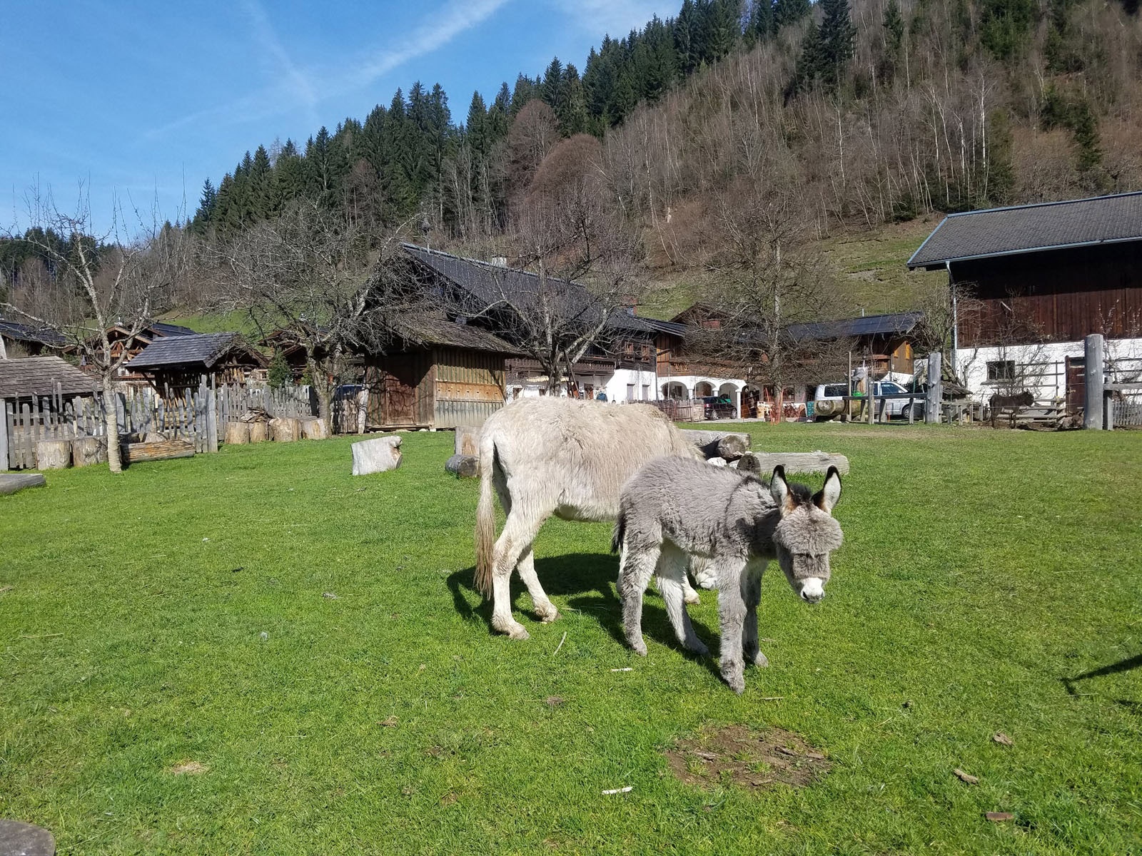
From the Mühlbach Neubaubrücke bus stop, the route follows the Mandlwandstraße branching off here towards Arthurhaus, but leaves it again at the first hairpin turn. The path marked "Bischofshofen" leads in a few minutes to the Pronebengut adventure farm, where rabbits, donkeys, goats, and alpacas form a very friendly animal welcome committee. The path crosses the meadow to the right corner and continues to the next farms. After an ascent of just under 100 meters in altitude, the driveway ends at the last farm Kleinhals, the route now follows the forest road and a forest trail. Past a beautiful wayside cross and the organic farm Rostatt, we reach a fork in the road. The snack station Mosott (open Thu – Sun) is 10 minutes' walk further above, but the route to Bischofshofen leads to the right. Alternating on paths, farm roads, and forest paths, the route leads to the guesthouse Bürglhöh` (open Wed – Sun) and there turns right towards the Gainfeld waterfall. A daring stairway runs across the waterfall, then the path leads past the jump hill area into the urban area and continues to the Bischofshofen train station.
Information & contact
https://bischofshofen.com; www.buerglhoeh.at; www.mosott.at;
Mag. Christian Heugl
5400 Hallein
Photo credit: Christian Heugl
By public transport
From Salzburg Main Station to Bischofshofen Station and by bus 590 to Mühlbach am Hochkönig, Neubaubrücke.
Return from Bischofshofen station. Frequency: Excellent service to and from Bischofshofen, to Mühlbach almost hourly on Saturdays and Sundays.
Timetable information and download: Online at www.salzburg-verkehr.at or on your smartphone via the free Salzburg Verkehr app for Android and iOS.
Route profile
All content has been researched by the editorial team to the best of their knowledge. However, the editorial team of Salzburger Verkehrsverbund GmbH cannot guarantee the completeness, accuracy, or timeliness of the information provided. We kindly ask you to verify the details when planning your trip, as opening hours, admission prices, or other information may change. Any liability claims against the editorial team or Salzburger Verkehrsverbund GmbH relating to material or non-material damages arising from the use of the information provided, or from the use of incorrect or incomplete information, are generally excluded.